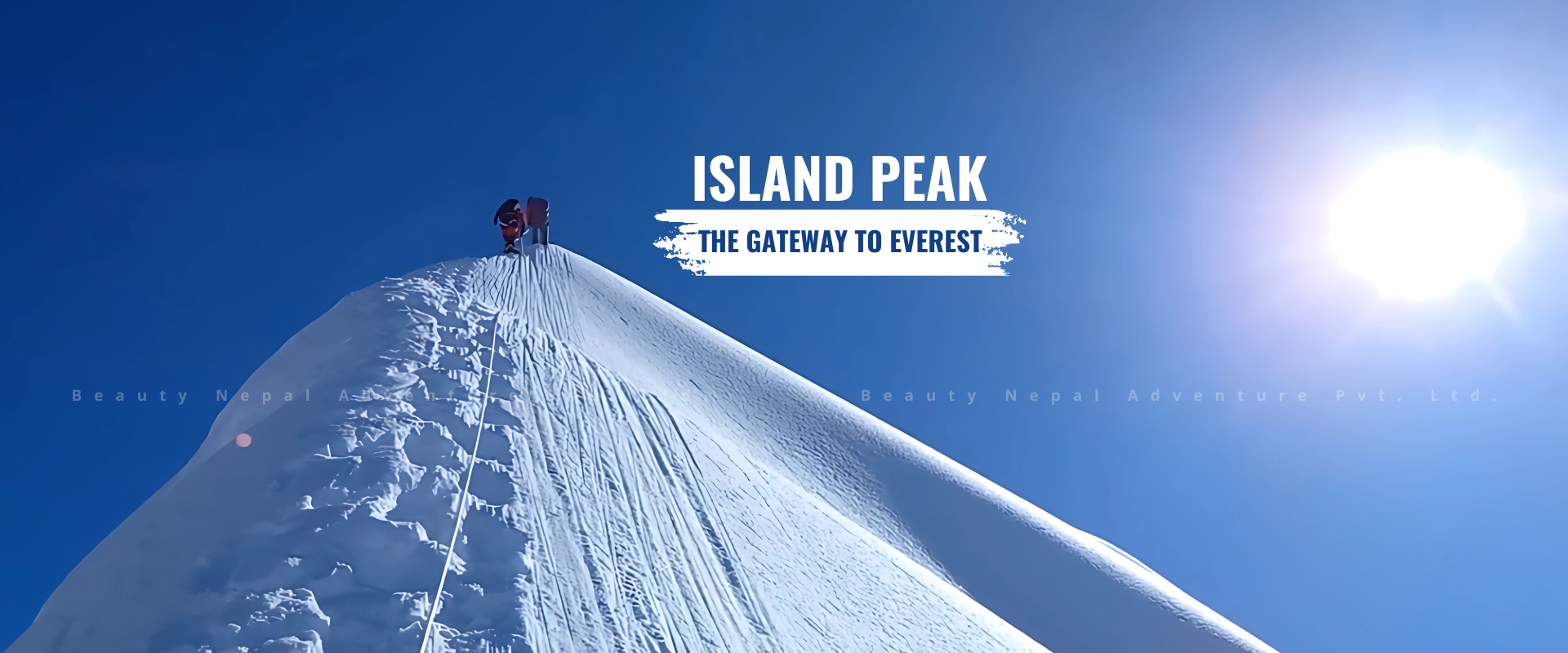
About Island Peak Climbing
-
Tea house/ Lodge/ Camping
-
6189 meters
-
(Breakfast, Lunch, and Dinner)
-
Spring and Autumn
This is the most popular trekking peak in Nepal. From Dingboche the mountain is seen as an island in a sea of ice. The summit is interesting and attractive with a highly glaciated west face rising from the Lhotse Glacier.The mountain itself is the extension of the South Ridge of Lhotse Shar seperated by a small col. The ridge rising to the south from this point leads to the summit of Island Peak. The extension of this ridge descending south-west is the part of the normal route of ascent and leads to the South Summit. Imja Tse not only provides an enjoyable climb but also provides some of the most spectacular scenery of Himalayas in the Khumbu region. Seen from the summit the giant mountains, Nuptse (7,879m), Lhotse (8,501m), Lhotse Middle Peak (8,410m) and Lhotse Shar (8,383m) make a semi circle in the north. The views of Makalu (8475m) in the east, Baruntse and Amadablam in the south add more charm for climbing Island Peak.
South East Flank & South-West Ridge
Normally, the base camp is set at Pareshaya Gyab (5,087m), between Imja Tse and
the lateral moraine of the Imja Glacier. It should not be forgotten that the place is more likely for avalanche in the event of heavy snow fall. From the base camp, a well acclimatized party in good conditions can make the summit and return to the base camp in a day. However, most of the climbers prefer establisheing a High-Camp which helps a safe ascent. From the base camp the route skirts south east around and base of Imja Tse and climbs steep grassy slopes and small rocky steps. We scramble up on open gully which leads between two ridges to the site of high camp on the left-hand ridge below and to the right of a small hanging glacier (5,280m). From the high camp, the left hand ridge scramble across the broad open gully. After crossing a gully a steep snow and ice ramp leads upward for nearly 100 meters to the summit ridge. Climbing near the summit is a little difficult due to steep climbing. In recent times the snow slopes below the summit has developed some large crevasses making the final ascent to the top difficult.
North Ridge Route
First ascent was in 1958 by Alf Gregory, Dick Cook and two Sherpas. North of the main summit the ridge continues to a col (5,700m). The route climbs the ridge from the col, which is reached by following the true right bank of the Imja Glacier and later the moraines on the right bank of the Lhotse Sar Glacier, before climbing north-west over snowy slopes to the col. On the first ascent, a camp was placed on the col. From the col, follow the ridge which is a magnificient snow arete, due south. This steepens for the final summit pyramid. This a long ridge that would be difficult under soft snow conditions and may under other contiditions have a marked cornice. The climb is a little more difficult than the normal route, and is graded alpine PD+.
Peak: Island (Imja Tse) Peak (6,160m/20,205ft)
Area: Khumbu Himal in the Everest Area, Nepal.
Route: South-West Ridge [ Route Map ]
Best Season: April-May & October-November
Highlights
- Trek through the Sherpa Villages of Everest area.
- Trek up the Khumbu Glacier to Everest Base Camp (5364 m).
- Climb Kala Patthar (5550 m) for views of Everest and other peaks.
- Learn the finer points of Himalayan climbing from trained Instructor.
- Climb Island Peak (6,160 m) with our experienced Sherpa Guide.